Study Area
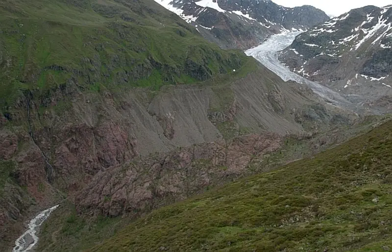
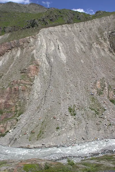
The investigation area is located at the Kaunertal valley head in Tyrol. It contains the catchment of the Faggenbach with Gepatschferner and Weißseeferner glaciers down to the mouth of the Faggenbach into the Gepatsch reservoir. It comprises an area of 62.54 km2. The glaciated portion is about 39%. The area displays high relief between the lowest point (mouth of the Faggenbach into the reservoir, ca. 1765 m a.s.l) and the highest point (summit of the Weißseespitze, 3510 m a.s.l). In addition to the high relief energy resulting from this fact (1745 m), there are great numbers of coarse sediment storages (moraines, taluses and fluvial sediments). Different slope processes transfer this material down slope, partly even to the Faggenbach channel network. As a result, the Faggenbach shows high bed lead rates. Large portions of the transported bed load are deposited temporally in sediment storages within the catchment. In addition, large volumes reach the mouth of the Faggenbach river into the Gepatsch reservoir. Rough estimations assume that about 12400 m3 are deposited in the reservoir every year. A lake level lowering of about 40 by the operating company before the beginning of snow melt every year makes the sedimentation in the delta measureable by laser scanning. As a result, the yearly deposits within the lake can be quantified with high spatial resolution.
In addition to the favorable preconditions, the area is also made accessible by good infrastructure. A paved road reaches an altitude of 2750 m a.s.l, which is of advantage when working with heavy instruments.
Moreover, climate data (temperature, precipitation and snow height) are collected by the reservoir operating company. This data can be used in the project. For a long-term monitoring data of the glacier and the surface, aerial images from the last 50 years are available.

