SP2: Quantification of gravitative mass movements in proglacial systems
Sub-project 2 conducts research in the spatial and temporal variability of gravitational mass movements events in unconsolidated material and bedrock. The focus is on an examination of the geological-geotechnical causes (such as the joint structure of the bedrock or the grain size distribution of the unconsolidated material). These and other geofactors are established area-wide by field mapping, supported by an analysis of ALS data and orthophotos, and visualized in form of a digital map in ArcGIS. Furthermore, it is the goal of the working group to determine the disposition concerning rock face erosion of all steep bedrock areas in the investigation area. To achieve this, the rock walls are classified using a RMS (rock mass strength) system that facilitates statements on the intensity of rock face erosion processes in the investigation area.
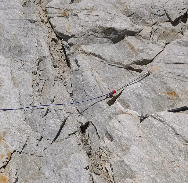
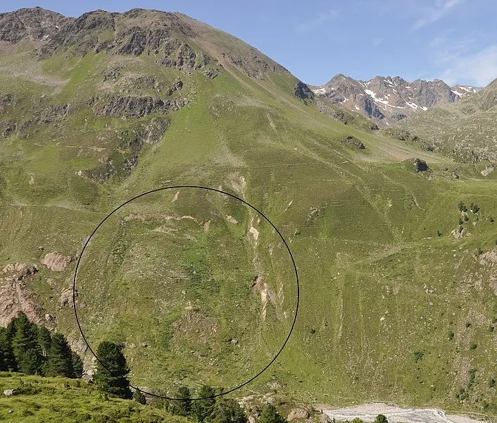
Measurement of material transport rates on in active mass movements serve a balancing of the sediment transport by gravitational processes. This is done on representative large-scale slope movements using steel tape dilatometer measurements and high resolution measurements with electric incremental rotary encoders on small-scale mass movements.
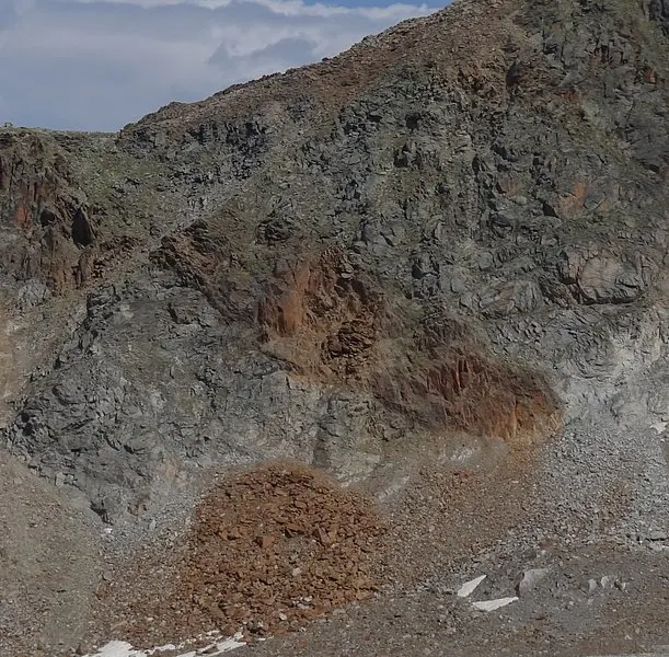
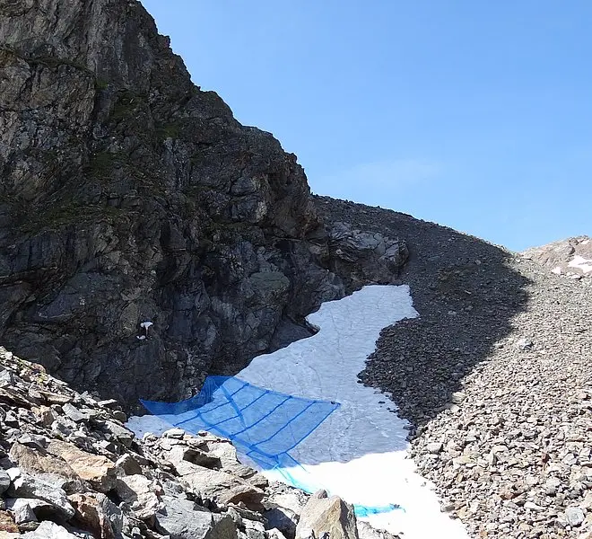
Extreme events, such as after heavy precipitation, are mapped and balanced in the field right after their occurrence. Larger events can also be measured by ALS data and on orthophotos. The balancing of the recent rock fall processes is accomplished using collector nets on the foots of selected rock fall sections. Additionally, these rock face areas are surveyed multi-temporally with a laser scanner by colleagues of sub-project 5. This makes a quantification of the rock fall volume between two measurement dates possible. To take the long-term development of erosion activity of rock faces since the little ice age into account, deposits of historical events are quantified and dated using the glacier extents of the Gepatschferner glacier documented since 1850.


