SP5: Analysis and modelling of proglacial geomorphodynamics on the catchment scale based on the integration of multi-temporal airborne and terrestrial laser scanning data
The sub-project serves the integration and evaluation of the analysis results concerning geomorphologic processes in the investigation area conducted by the other sub-projects. This includes an upscaling of the process models to the scale of the investigation area. In doing so, a better understanding of the whole systems shall be reached and prognostic statements on the future climate induced process developments be made.
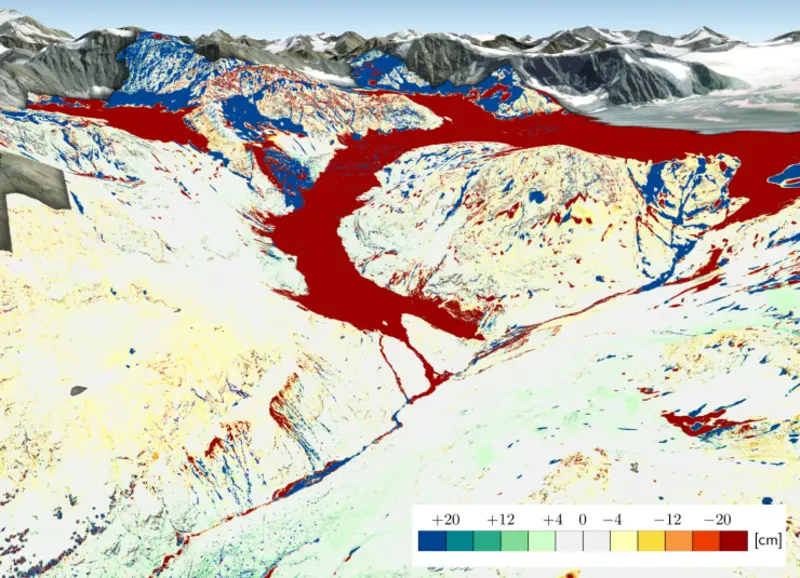
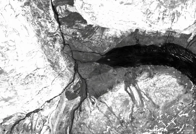
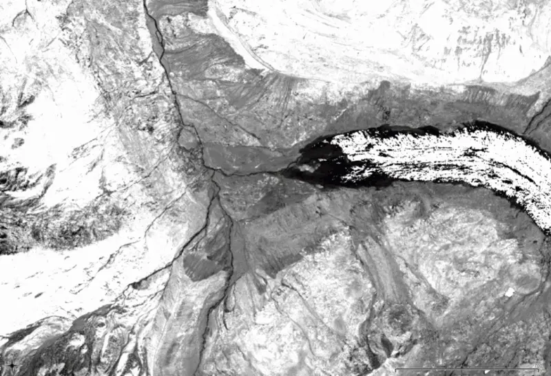
The methodological backbones of the data are spatially and temporally high resolved multi-temporal terrestrial and airborne laser scanning data (TLS and ALS) plus multi-temporal aerial images. A qualitative analysis of full-waveform ALS data makes sure that errors resulting from the interaction of the laser beam with different surfaces are minimized and these different surfaces can be accounted for in the process modelling steps. Based on this data, a multi-scale relief analysis delineates different process areas, processes are modelled, their connectivity is determined and their importance and interaction quantified relatively and absolutely for the whole investigation area.
A process-related focus of the project is on gravitational mass movements like avalanches, rock fall or debris flow. Their activity is monitored, quantified and modelled. Also the coordination, data management and holding of workshops for the Ph.D. students are taken care of by sub-project 5.


