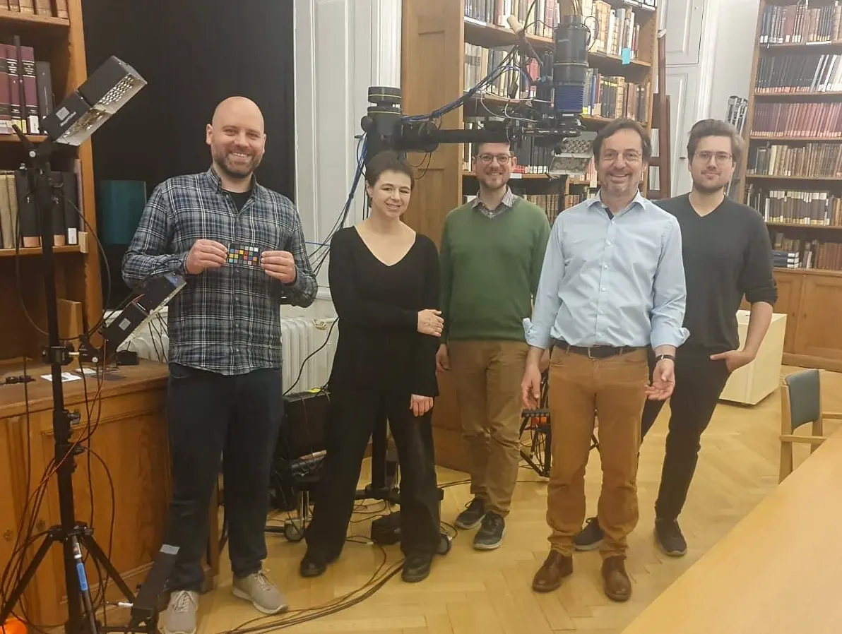
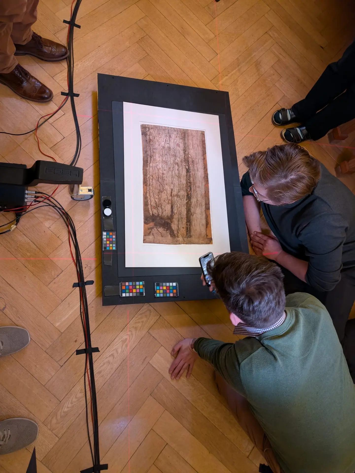
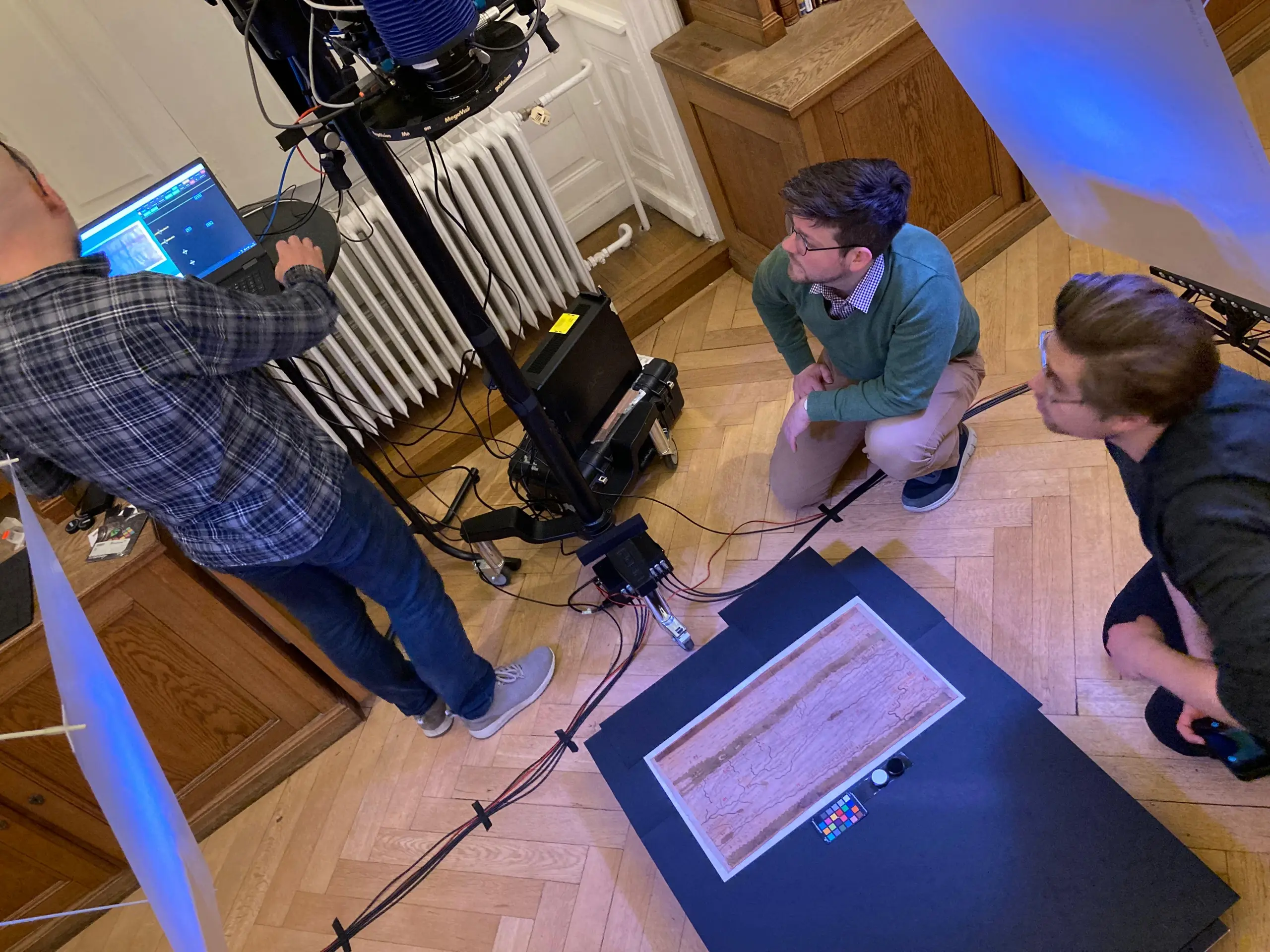
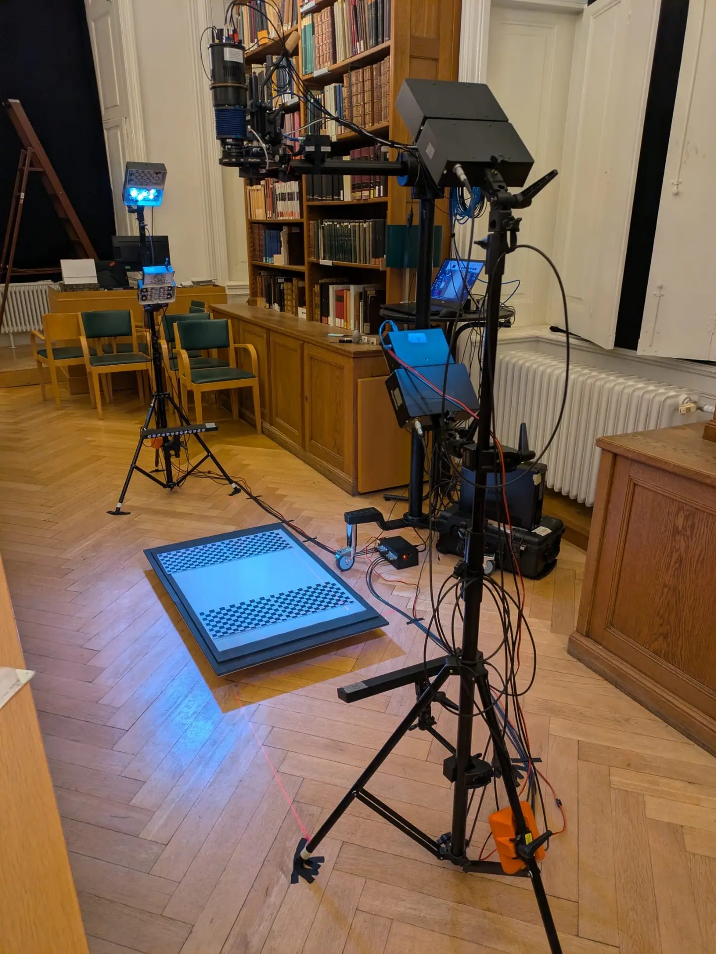
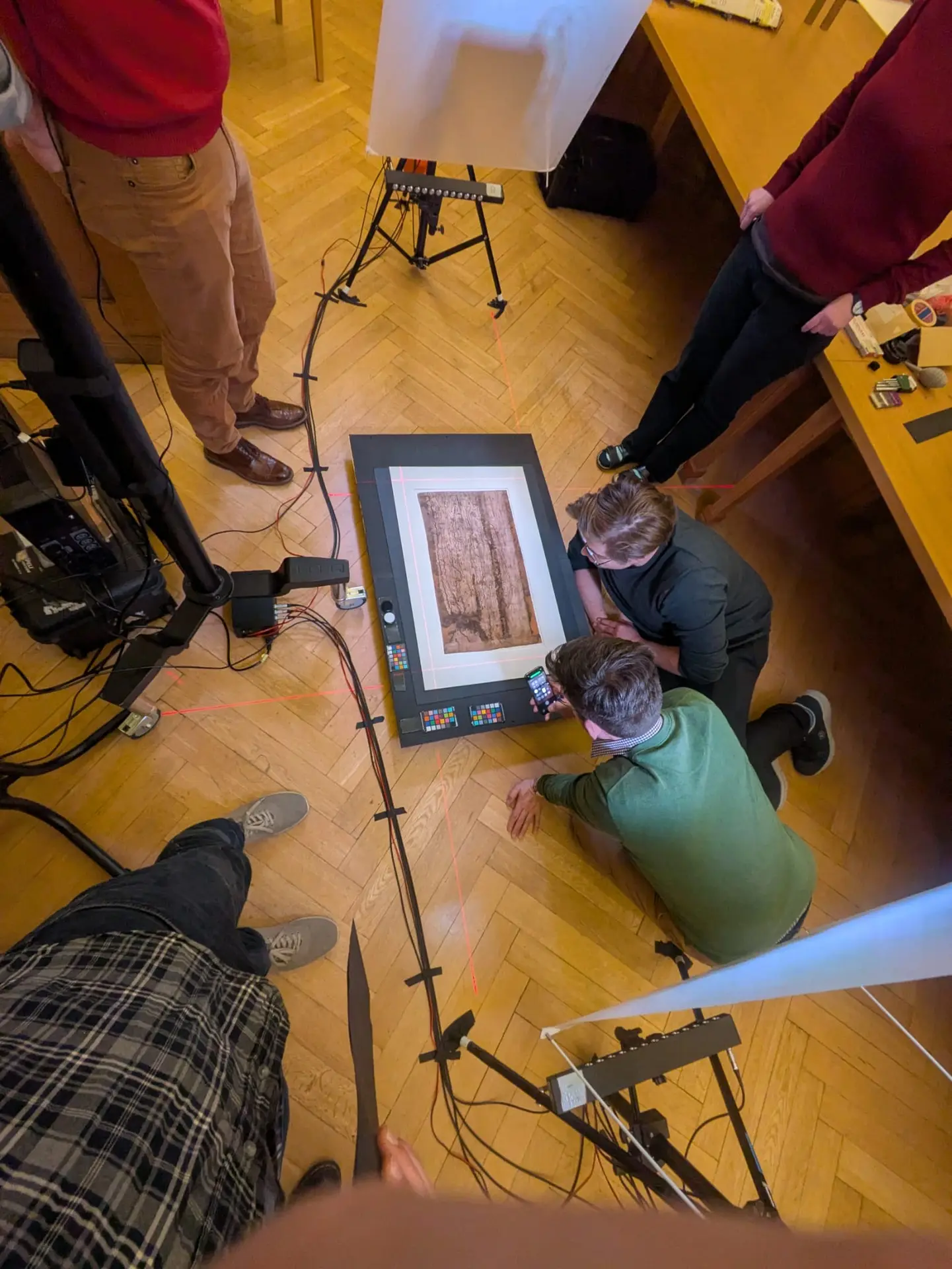
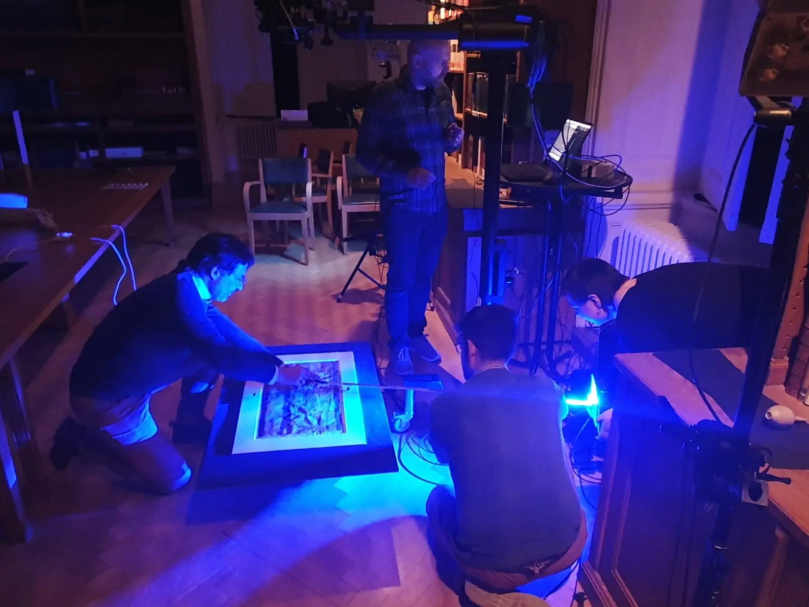
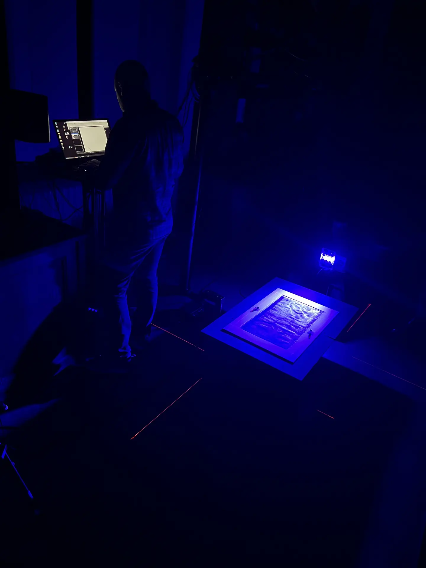
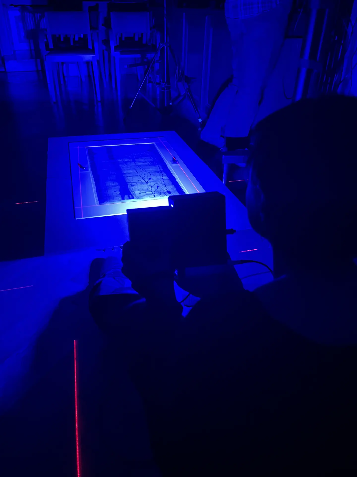
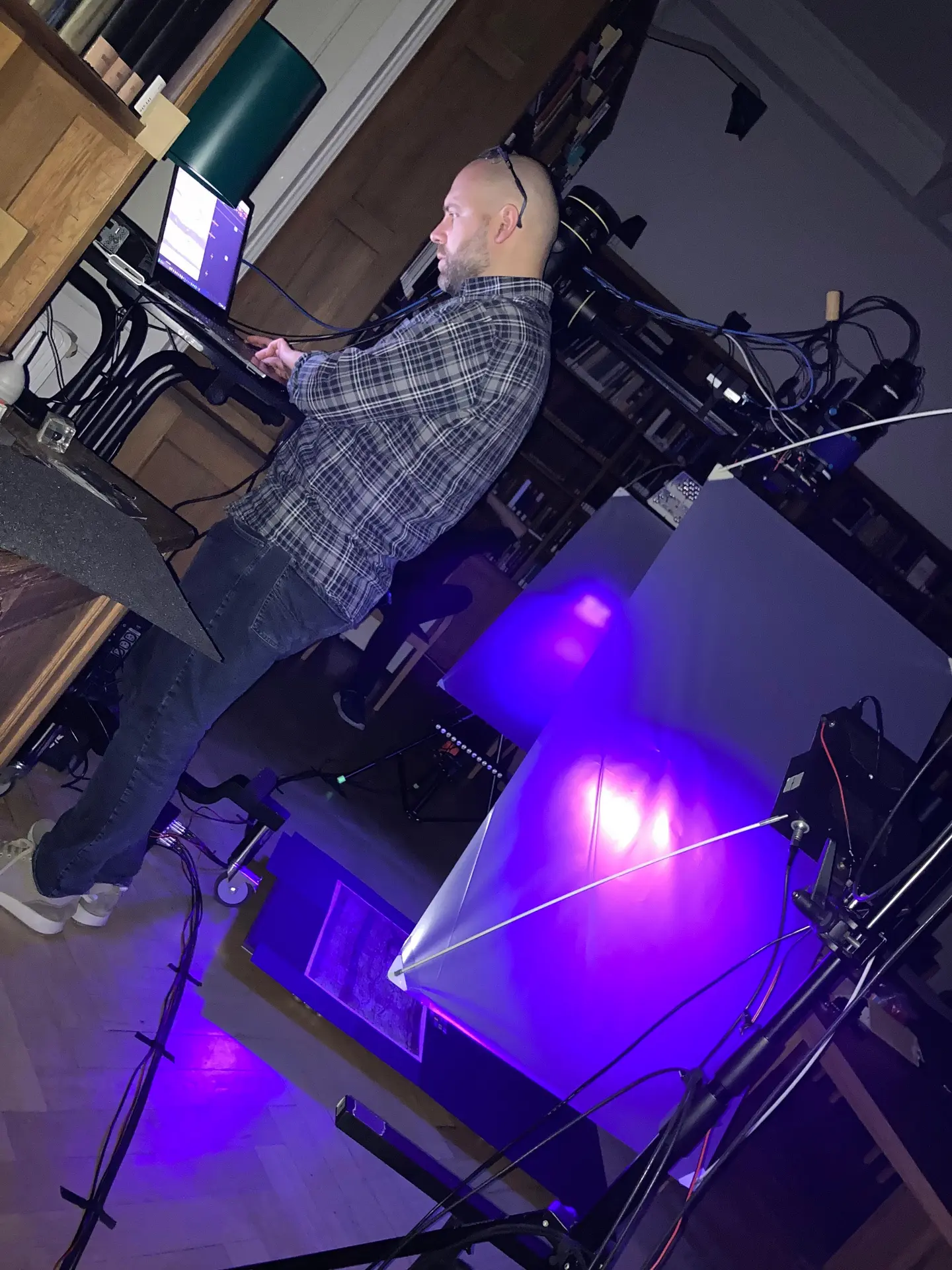
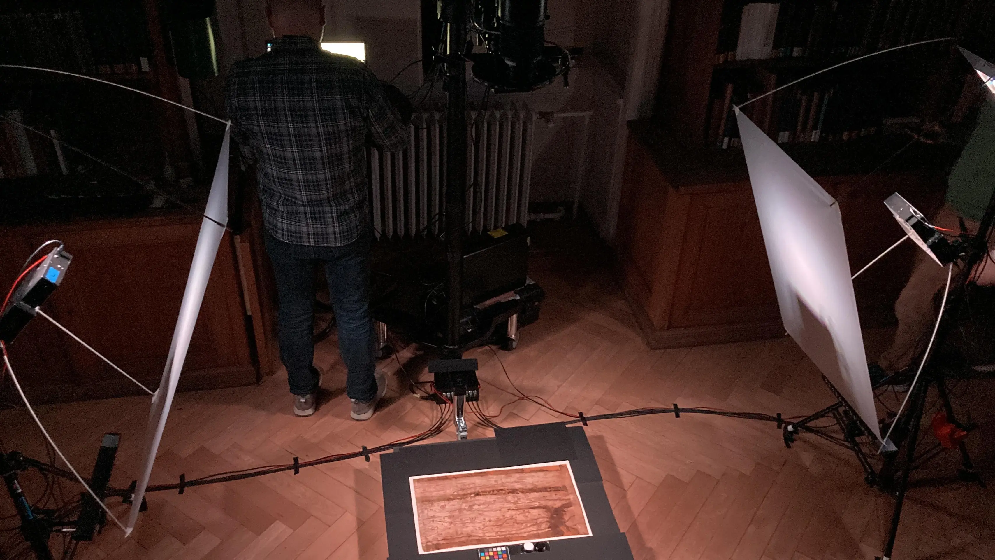
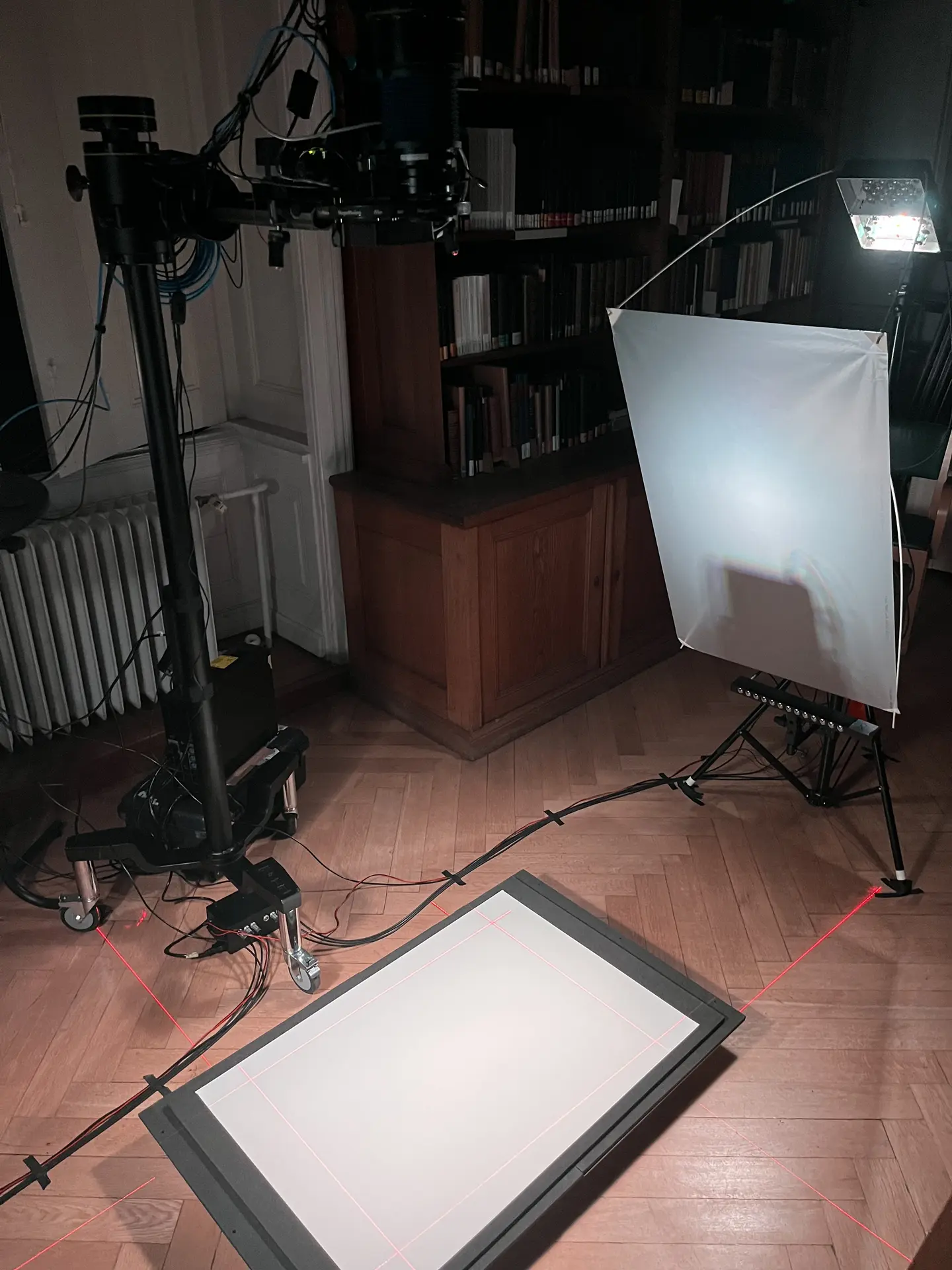
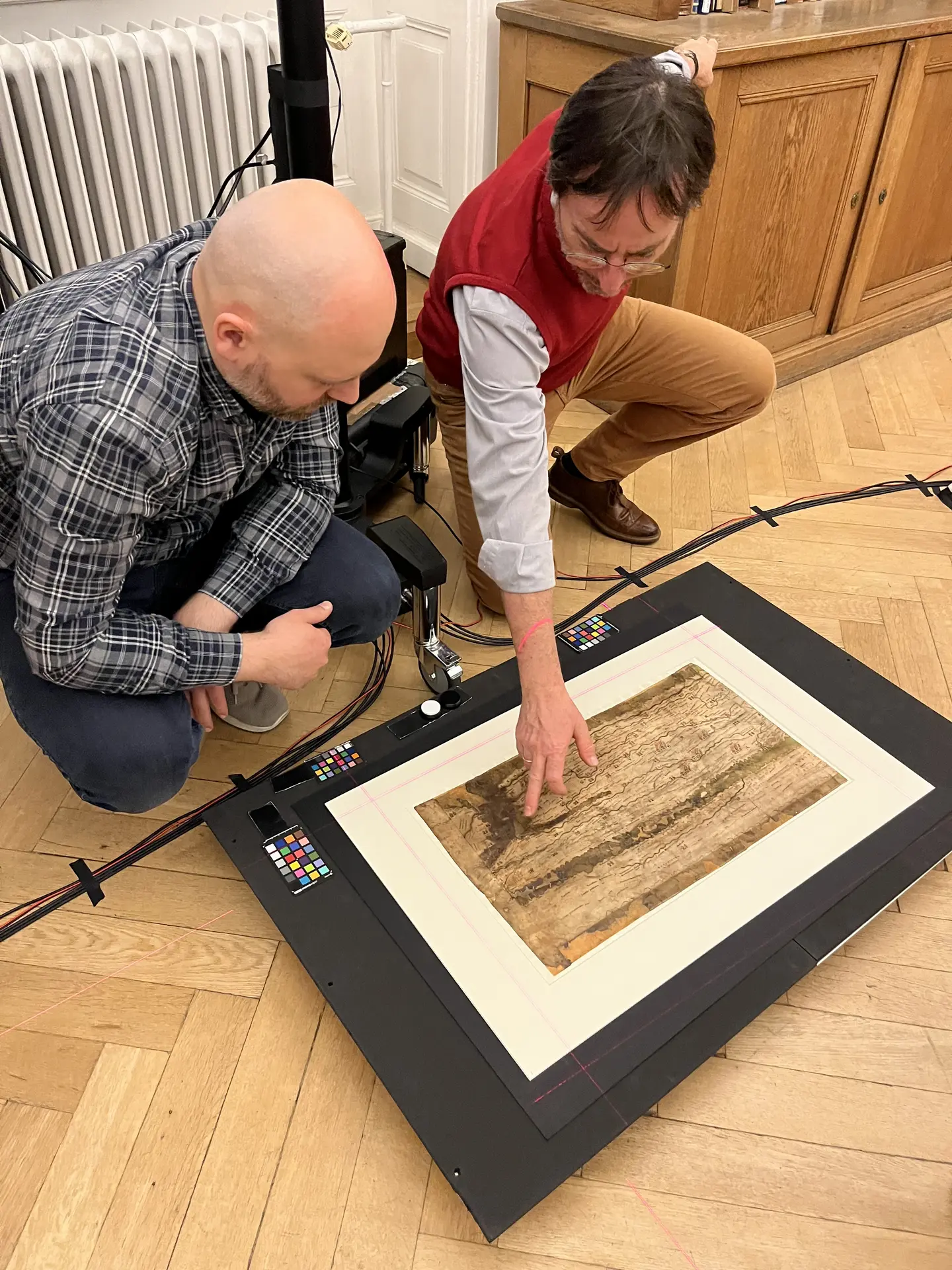
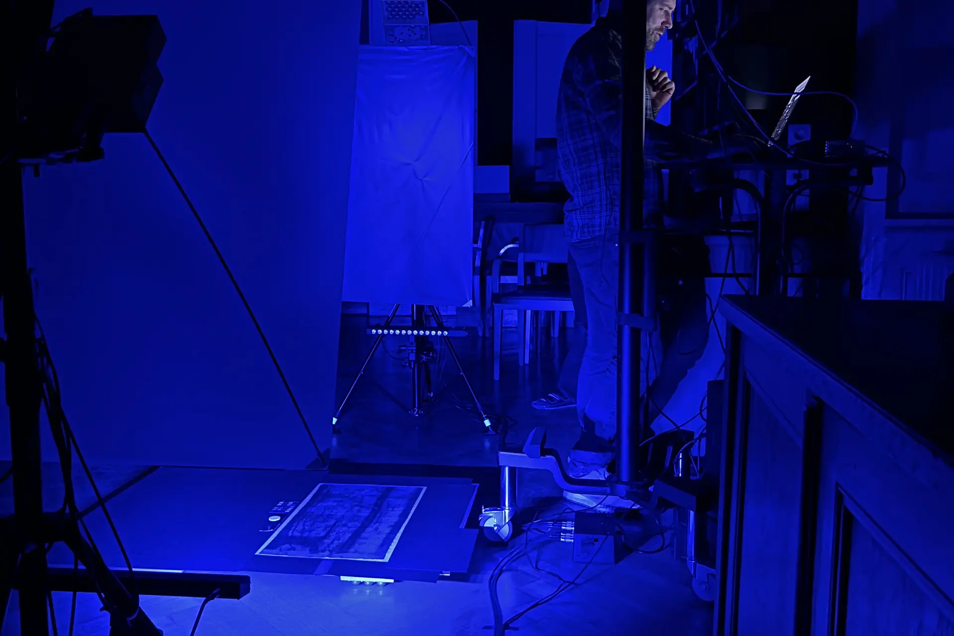
The team around Prof. Dr. Michael Rathman, Philipp Köhner, and Adrian Karmann from the KU uses multispectral imaging (MSI), a technique that makes it possible to visualize different layers of material and traces of color. Digitalization of the map is being carried out by technicians from the “Centre for the Study of Manuscript Cultures” within the University of Hamburg’s Cluster of Excellence “Understanding Written Artefacts”, which possesses specialized expertise in the field of material-based manuscript research. The Austrian National Library in Vienna, the home of the Tabula Peutingeriana, is also supporting the project and making the document available for the extensive on-site photography. “The collaboration between these different institutions allows us to take a truly innovative approach, as it requires expertise in technology as well as conservation and history”, explains historian Rathmann.
Ancient world map shines in new light: Historians analyze Tabula Peutingeriana using MSI technology
![[Translate to English:] Aufbau für MSI-Aufnahmen](/fileadmin/_processed_/f/b/csm_image00004_91b78027f2.webp)
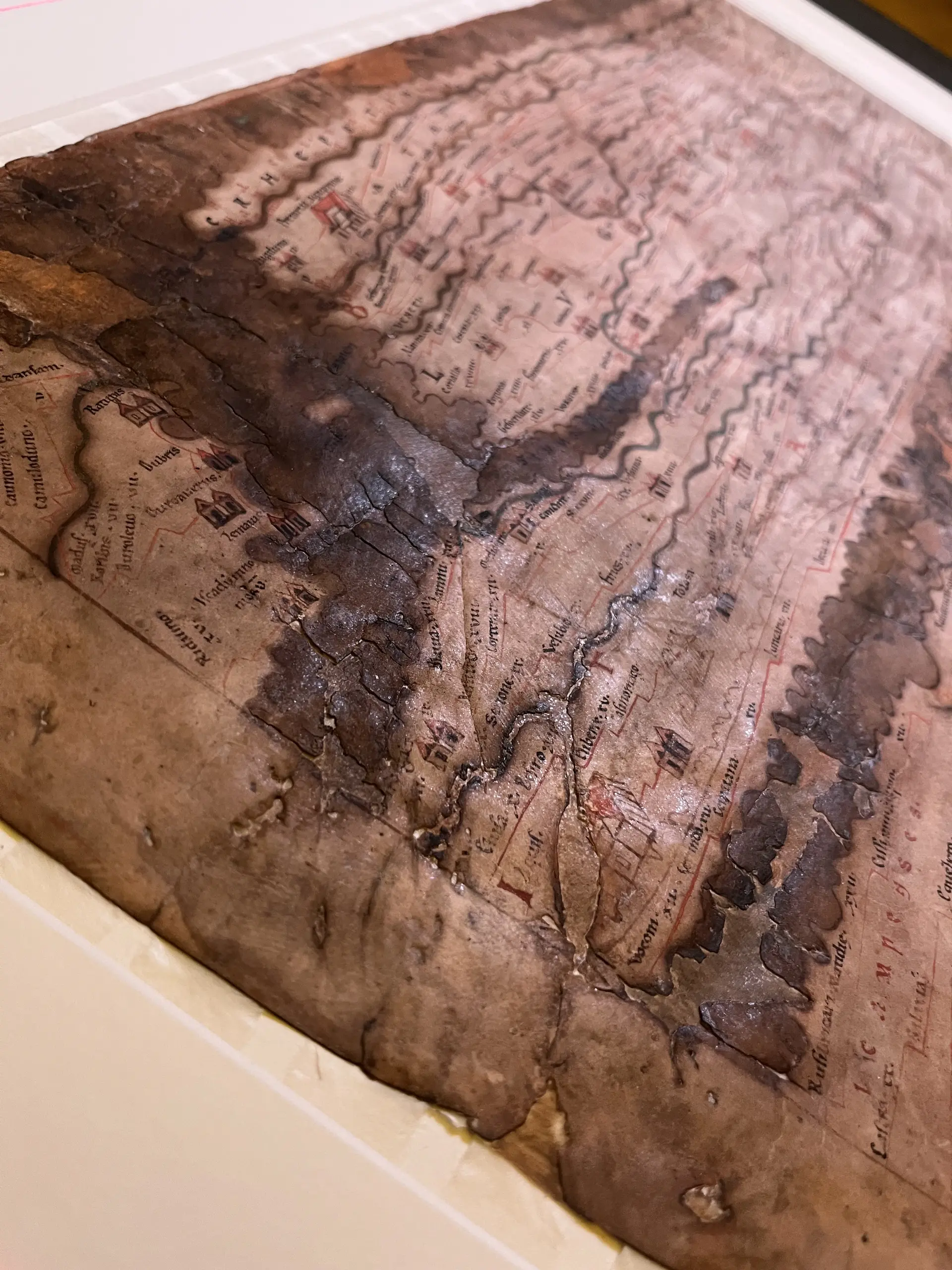
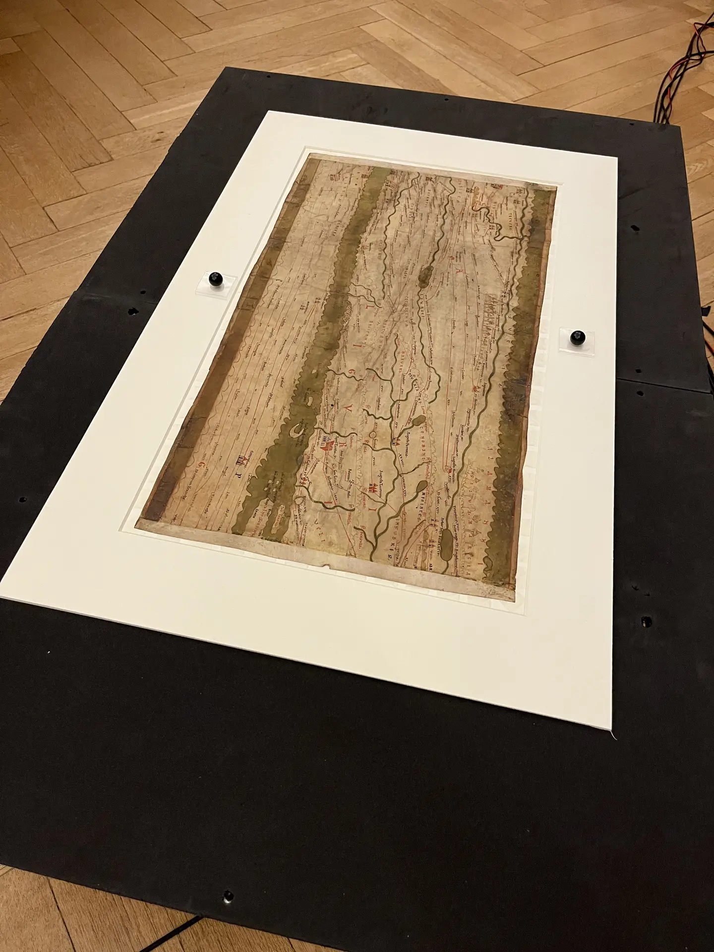
The Tabula Peutingeriana is regarded as a unique testament not only to the history of cartography but also to the perception of space in antiquity. It has been part of the UNESCO Memory of the World Register since 2007. The specimen kept in Vienna is a copy, made around 1200, of an originally Hellenistic map, the last ancient revision of which dates to around 435. It is also unique because it is not to scale: The depiction of the world is extremely distorted, as it was squeezed onto a parchment scroll 6.80 meters long but only 34 centimeters high.
For many years now, historians in Eichstätt have been studying the ancient map in depth. As part of a project funded by the German Research Foundation (DFG), a comprehensive commentary in the form of an online database was developed between 2017 and 2023, which classifies and interprets the approximately 3,800 pieces of geographical information it contains. As Michael Rathmann points out, the approach was new: “We view the Tabula Peutingeriana as the product of a continuous creative process spanning many generations, beginning in the Hellenistic period, during which its content was also repeatedly revised.”
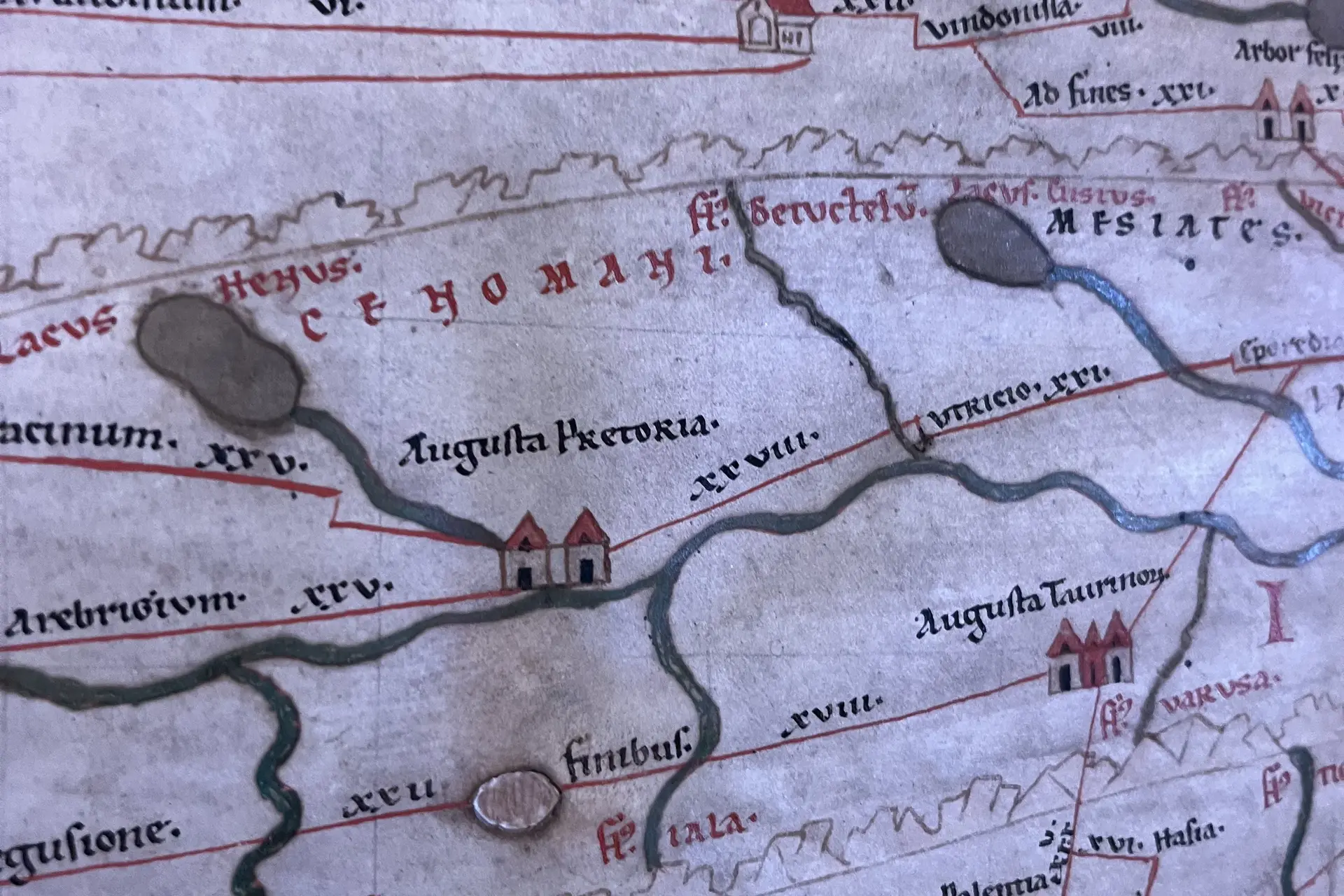
This is precisely where the new research project comes in, drawing on scientific and digital techniques. In many places, the Tabula Peutingeriana is now faded or damaged and therefore difficult to read. In multispectral analysis, images of the parchment are taken across various wavelength ranges and processed on a computer to more clearly highlight the contrasts between different inks. “This allows us to reveal details that had previously remained hidden from us”, says Philipp Köhner, research associate at the Chair of Ancient History. Whether it’s missing characters, overpainted drawings, or puncture marks from compasses and guide lines: this innovative technique opens up new avenues of inquiry.
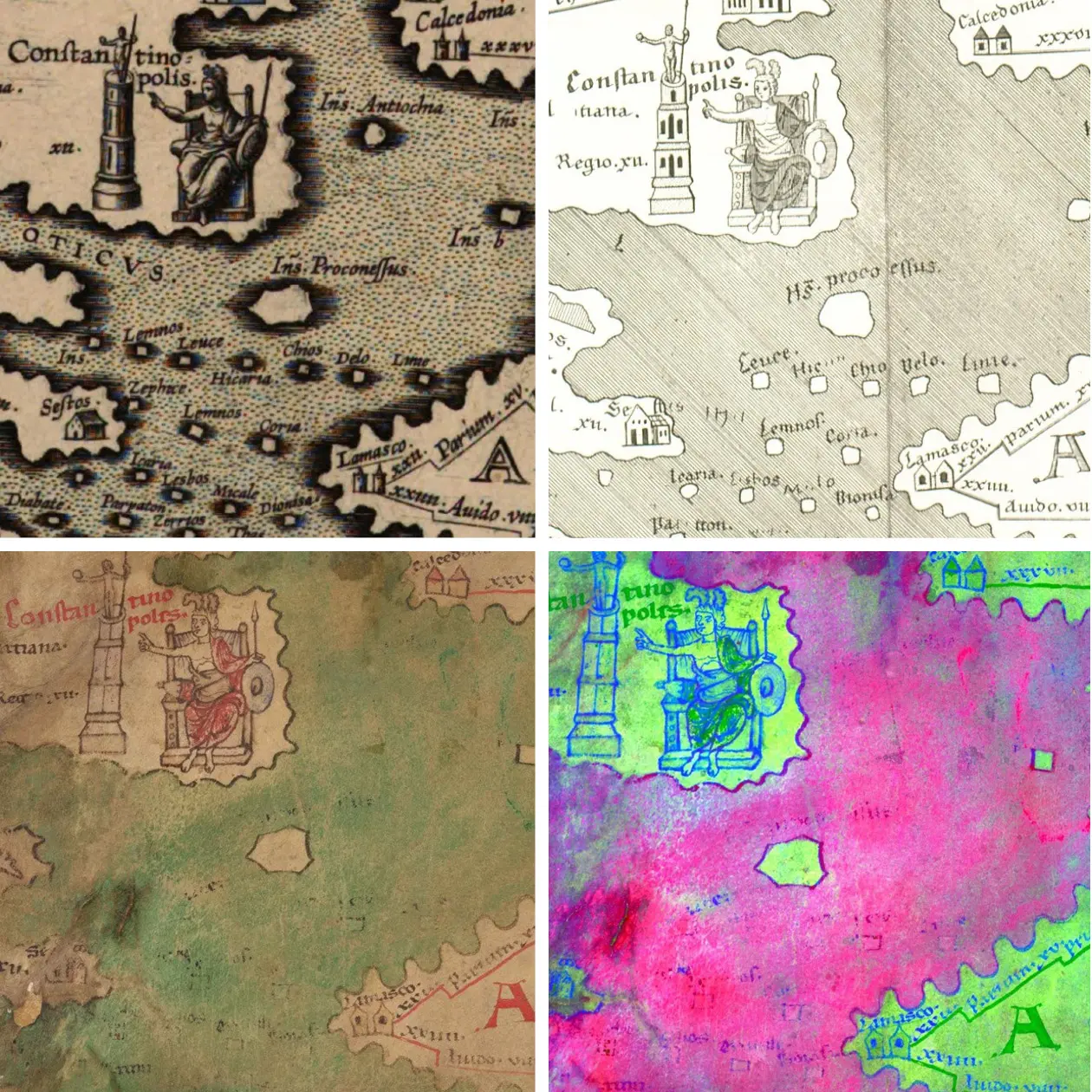
Rathmann, Köhner, and Karmann are particularly interested in the bodies of water: Because green copper pigment paint was used, the labels for lakes and seas have become illegible over time due to chemical reactions. Modern camera technology is now expected to shed light on past maritime knowledge. Just how promising this can be is underscored by some images taken on a trial basis in 2022 using a hyperspectral camera in collaboration with the University of Trier. In it, the outline of an island appeared, along with the inscription "Antiochia," which are not visible in the original.
The island is also marked on a copy of Welser’s map from 1598; but not on Scheyb’s map from 1753. The researchers thus wondered about the accuracy of Welser’s account and what could be read on the Tabula Peutingeriana, when, and with what degree of clarity. Thanks to MSI technology, we can now answer this question: Welser did a thorough job here. The historians in Eichstätt hope to be able to examine about a hundred of Welser’s entries that are no longer visible to the naked eye. In addition, it should be possible to verify hundreds of uncertain readings of place names and cartographic entries. Even sections that Welser himself could no longer see over 400 years ago are set to be revealed once again. “The new MSI images give us the opportunity to take a completely fresh look at the Tabula Peutingeriana in many respects”, says Philipp Köhner.
The current studies serve as a starting point for future projects. In the future, the researchers plan to submit a proposal for another DFG-funded project based on the new image data, which will take an even more comprehensive look at the Tabula Peutingeriana. The ancient world map thus remains a central focus of research at the KU—now enhanced by state-of-the-art technology that offers a fresh perspective on this significant artifact from antiquity.
Insights into the MSI observations in mid-April 2026 in Vienna