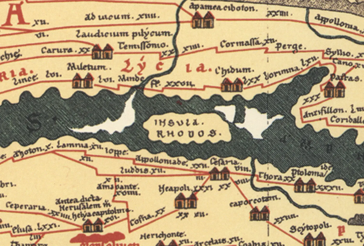
Since its publication in 1598, the Tabula Peutingeriana, which was awarded UNESCO Memory of the World status in 2007, has provoked a series of questions and fueled academic discourse on ancient and medieval geography. However, many publications from the last decades show that this unique testimony of the history of cartography has to date rather been generally researched on the surface than actually examined at length and in detail. This is why the Chair of Ancient History at the KU has decided to take a closer look at the Tabula and comment on it in the context of the DFG project. The aim of the research work is to create a comprehensive commentary on the estimated 3500 toponyms (places, islands, mountains, rivers, etc.) as well as to process and publish the results in digital form in an open-access online database.
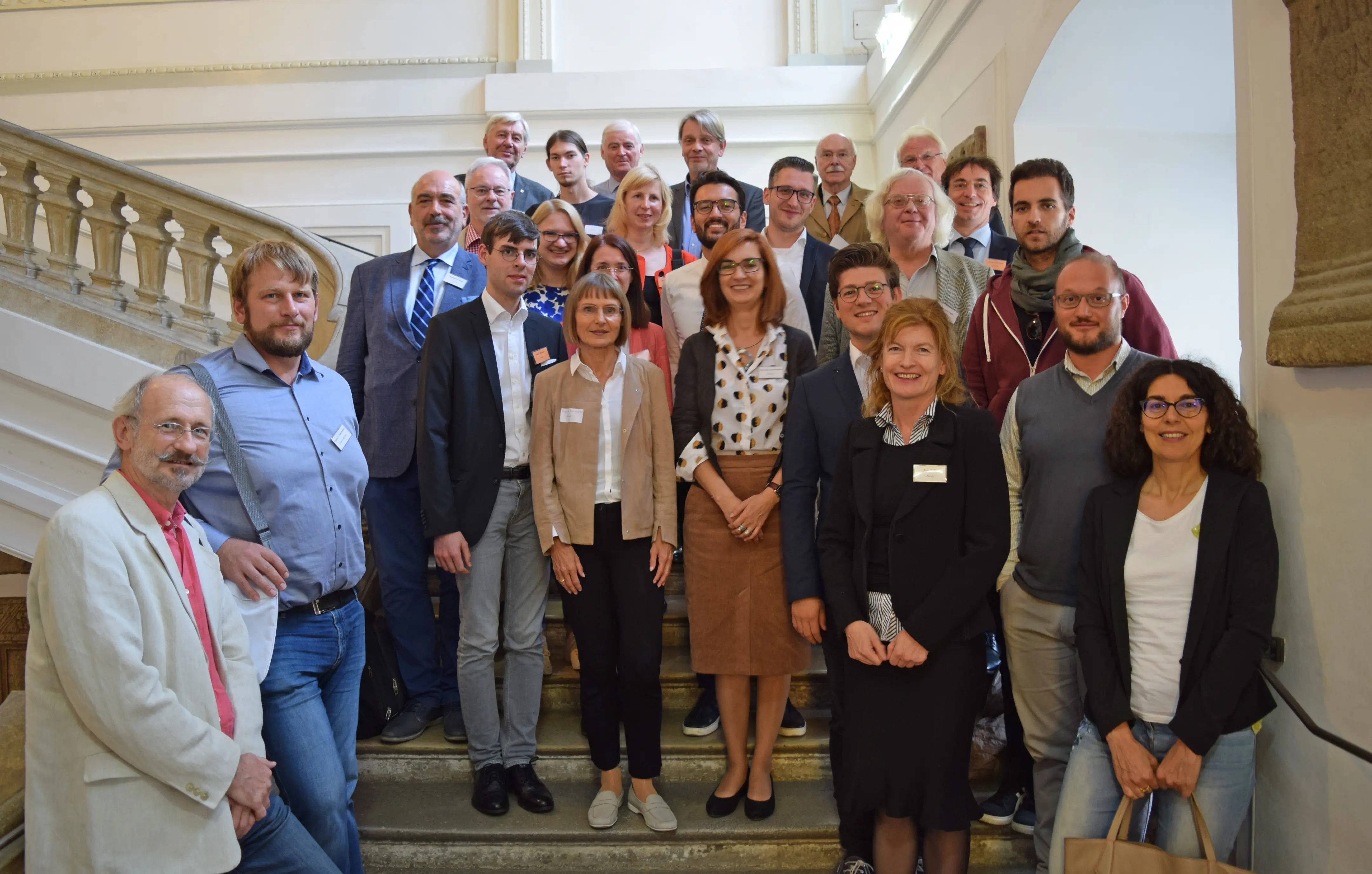
The Chair presented its work at the conference in Vienna and discussed current research approaches and new results in front of a wide academic audience. Participants at the conference not only discussed the depiction of individual regions in the ancient world in the Tabula Peutingeriana but also addressed questions in connection with the process of copying the ancient original leading to the creation of the medieval copy.
Discussions mainly centered around the question regarding age determination of the ancient model. Richard Talbert (Chapel Hill), Ekkehard Weber (Vienna) and Michael Rathmann (Eichstätt), the representatives of the three central theories regarding the origin and creation, have gathered in one place on the occasion of the conference. While Talbert dates the original model of the Tabula to Late Antiquity (approx. 300 AD), Weber believes it was created in the context of the Agrippa map (approx. 13 BC) and Rathmann thinks that it is a work from the Early Hellenism (approx. 250 BC). Due to these considerable deviations in the theories of its origin, researchers have ceased to simply investigate the exact age determination of the model and have started to focus more on the elaboration of the individual stages of development of the map within Antiquity, as it is increasingly seen as a work-in-progress product.
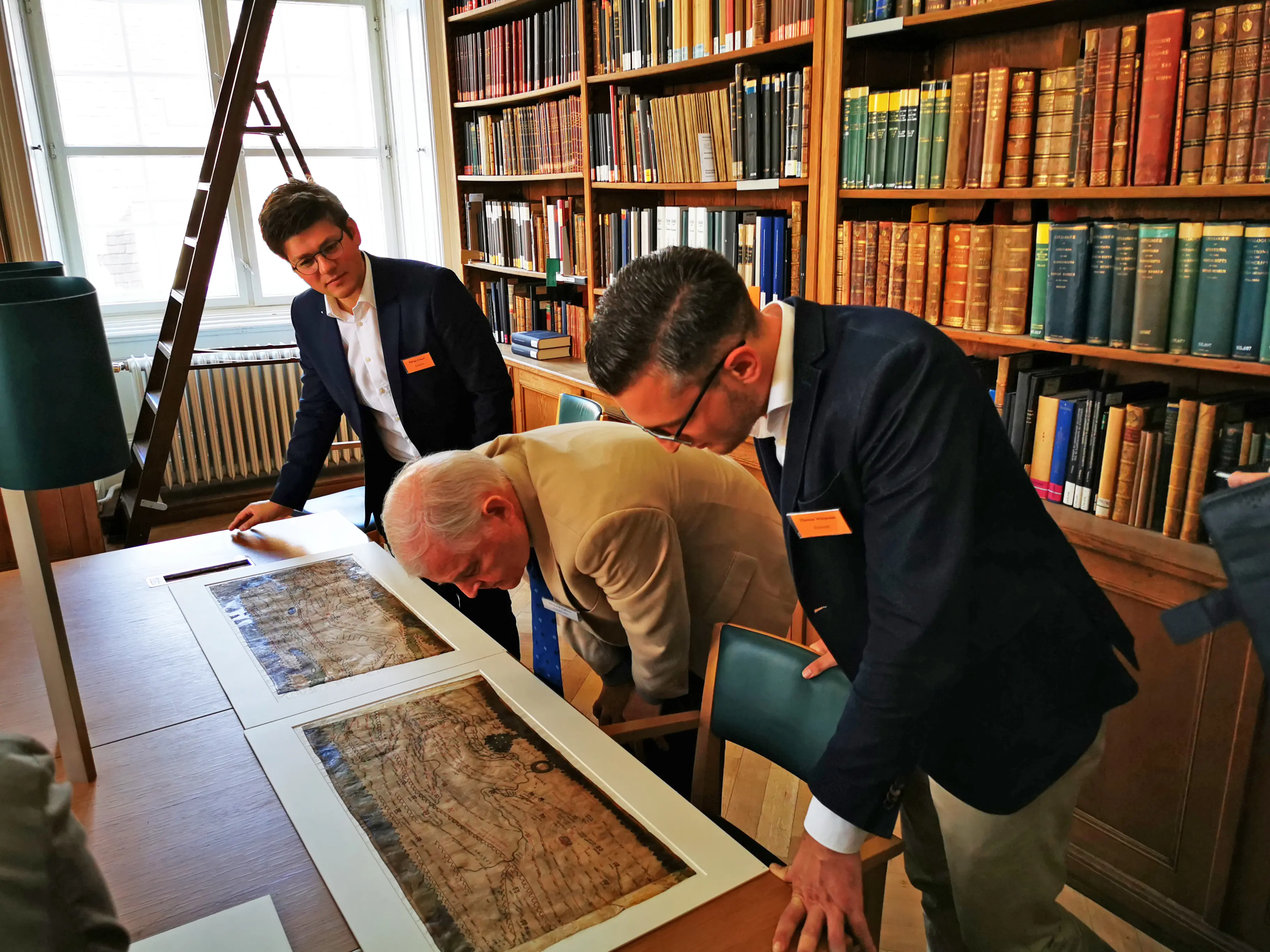
For all participants, the highlight of the conference was that they were given the chance to get a glimpse of the original Tabula Peutingeriana, which has been in the possession of the Vienna Court Library since 1738. The guests were allowed to investigate the map for over one hour to get a better idea of its state of conservation. In addition, they were also provided with insights into the work of the restorers at the National Library.
The conference concluded with a presentation on the Eichstätt database, http://tp-online.ku.de, that is publicly accessible and contains information on all toponyms of the TP as well as references to ancient authors, suggestions for age determination, recommendations for further reading and comprehensive commentaries on the toponyms.