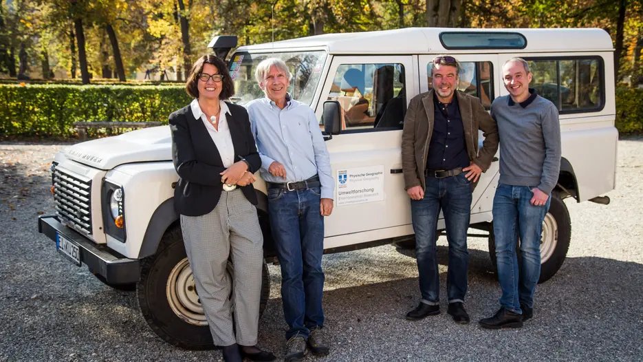
Within the research group, scientists with different academic backgrounds (climatology, geography, hydrology, botany, geodesy) and from different universities (Bremen, Munich (TU), Innsbruck and Vienna (TU)) cooperate with researchers from the KU. The DFG has granted financial support for the joint project “SEHAG” (SEnsitivity of High-Alpine Geosystems towards climate change since 1850) for a duration of usually two three-year periods. For the first three-year period, the overall project was granted two million euros – more than 920,000 euros of this grant were allocated to the partial projects at the KU which are carried out by the team surrounding Prof. Dr. Michael Becht, Privatdozent Dr. Forian Haas and Privatdozent Dr. Tobias Heckmann. The DFG only granted financial support for 17 research groups in Germany who had to undergo a complex application procedure. For the SEHAG project, preparation work for the submission of the application took three years.
“We are very happy about the financial support granted for the first research group led by the Catholic University of Eichstätt-Ingolstadt and see this as an important milestone towards a KU membership in the German Research Foundation. This collaboration with other researchers and scientists involved in the joint project is also a valuable contribution to the expansion of our KU network”, says KU President Prof. Dr. Gabriele Gien.
The primary focus of the research group is not on climate change itself, which is already widely documented for the Alpine region thanks to historical weather records. These reveal that warming in the Alpine region was significantly higher than the increase in global average temperatures. “We rather want to investigate processes which are triggered or influenced by precipitation and temperature and which can change correspondingly in the context of climate change”, explains Prof. Dr. Michael Becht, spokesperson of the research group. This mainly includes changes in vegetation (rising tree line), cryosphere (permafrost, snow and avalanche activity), glaciers, runoff into streams and rivers and processes that form the surface of the earth (such as rock fall, mudslides, erosion on hillsides and in running waters). Furthermore, the team seeks to investigate interdependencies between these changes and also take a closer look at the question if and how local changes are transferred from one territory to the neighboring area and whether these changes might thus also affect populated areas in the lower territories (e.g. through backfilling of reservoirs due to increased transport of sediment or processes of natural hazards). The group will carry out their research in the valleys Martelltal (South Tirol) and the Horlachtal and Kaunertal (Austria).
A first step will be to develop and improve the understanding for the changes that occurred in the past and analyze their causes to then be able to draw conclusions for the future. In an initial project phase, the researchers will investigate if and how the mentioned phenomena and processes have altered due to climate change since the end of the “Little Ice Age“ (around 1850). On the one hand, the research group will draw on a model calculation taking into account existing historical data sets (so-called reanalysis) in order to be able to better understand the course of the weather and climate changes on a local level, i.e. in specific areas which are to be investigated.
Another important tool for reconstruction of alternations as a consequence of this change are historical photographs: “The end of the Little Ice Age does not only coincide with an increased climate change but also with the emergence of Alpine tourism and photography. There are countless photographs available in community archives, mountain huts or associations, parts of which date back to the beginning of the investigated period and which clearly show the expansion of the glacier back then”, explains Dr. Tobias Heckmann. Aerial photography already started to develop around the time of the First World War. There are aerial image series covering the entire investigated area from approx. 1950 onwards. “We will also concentrate on searching the archives for existing documents and digitalize them in order to be able to systematically analyze the material. Photogrammetric methods also allow us to carry out a quantitative analysis of historical photographs – spanning from the mapping of vegetation, glaciers and specific terrain characteristics to the development of digital terrain models serving as a basis for accurate measurement of surface changes to the decimeter or meter which enable comparisons between past and present conditions.”
Current dynamics in the investigated areas during the project duration are measured using high-tech methods: Laser scanners measure surfaces in high spatial resolution and accuracy, climate stations capture numerous measurement parameters, runoff markers trace changes in the water level and runoff amounts in streams and drones take high-resolution aerial pictures which then serve as a basis for highly precise measurements and maps. In a second project phase, the researchers will use models in an attempt to predict medium-term changes in the investigated Alpine systems by drawing on the enhanced understanding for historical changes and current dynamics gained in phase one. The results will serve as a significant basis for developing adaptation strategies for the future.
If you own any historical photographs of the relevant investigated regions mentioned above (“historical” refers to the past in general, which means that not only 19th century pictures are of interest) and you would like to make those available to the research group, please contact the group coordinator (michael.becht(at)ku.de).
