Database tp-online
The Tabula Peutingeriana
The Tabula Peutingeriana (TP), which has been on the UNESCO World Heritage List since 2007, is a unique testimony to the history of cartography. The copy we have here is a copy of a world map made around 1200 AD. It stands at the end of a long history of copying, whereby minor revisions were always made in the course of the countless copies and copies. The last antique copying stage can possibly be dated to the first half of the 5th century AD and represents the end point of a long antique copying tradition. As this is the only large-format world map that has survived from antiquity, it is clear how essential it is for our understanding of the conception of space in antiquity to analyse this important evidence. The format of this parchment scroll is unique: measuring almost 6.80 metres in length and just 33 cm in height, the tabula depicts the oikumene from Iberia (the beginning has unfortunately not survived) to India in a west-eastern expanse with extreme distortion and compression. The world depicted, which was known in antiquity, is nevertheless fundamentally orientated. With this map scroll, we are able to summarise an ancient tradition of non-scale maps outside the highly elite mathematical geography of a Klaudios Ptolemy, which allows conclusions to be drawn about the geographical knowledge of a broader public within the ancient upper class.
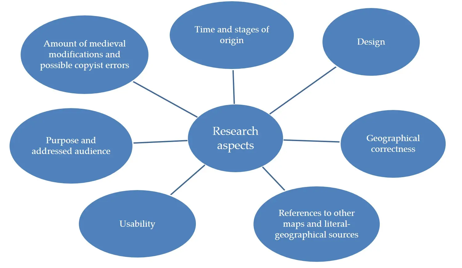
The present database is based on the DFG project "Commentary on the Tabula Peutingeriana", takes up the numerous research controversies and focusses primarily on the following aspects:

The approach chosen to comment on and analyse the approximately 3700 toponyms is innovative in many respects: the current theories on dating, sources and purpose are called into question. A Hellenistic basic form of TP is assumed. This has consequences for the history of ancient cartography as a whole, which needs to be rethought, as the tabula is no longer the result of Greco-Roman cartography. It should probably rather be seen as an early product in this developmental history. In addition, instead of a fixed dating, the various stages of processing should take centre stage. The TP should be interpreted as a "work in progress", whose purpose may have changed with its changing historical and cultural background. Its interpretation as a store of knowledge and medium of memoria allows conclusions to be drawn about the methods, possibilities and limits of generating and passing on knowledge in general.
Press Review
“Die Vermessung der antiken Welt”, Zeit vom 15.11.2018
"Der Erdkreis zum Einwickeln", FAZ vom 25.01.2019
"Antike Welt auf Küchenrolle", Donaukurier vom 18.10.2019
"Die Wege, die ein Weltreich schufen", Welt der Wunder (Ausgabe 08/2024)